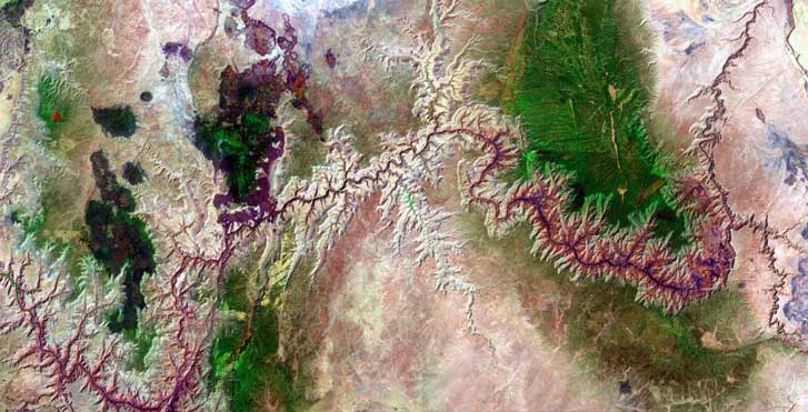
This Landsat image shows the great majority of the 277-mile stretch of Colorado River running through Grand Canyon. Lees Ferry and Lake Powell are off-image at the upper right. Lake Mead is just off-image to middle left. Click on areas of the map for selected highlights of the Colorado River, or click the links at right or below.
Image courtesy of the Landsat Project digital archives, part of a joint endeavor of the U.S. Geological Survey and NASA.
Explore the Colorado River Corridor
Click the links below to visit sites along the 277-mile stretch of river that carved Grand Canyon.
To read about the river’s history or the history of river running, click on the photos.
– Bridge Canyon
– Marble Canyon
– Little Colorado River
– 1956 airline crash
– Unkar Delta
– Hance Rapid and Canyon
– Black Bridge
– Silver Bridge
– Phantom Ranch
– Hyde river tragedy
– Crystal Rapid
– Kanab Creek
– Havasu Creek
– Lava Falls
– Separation Rapid
– Diamond Creek
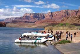
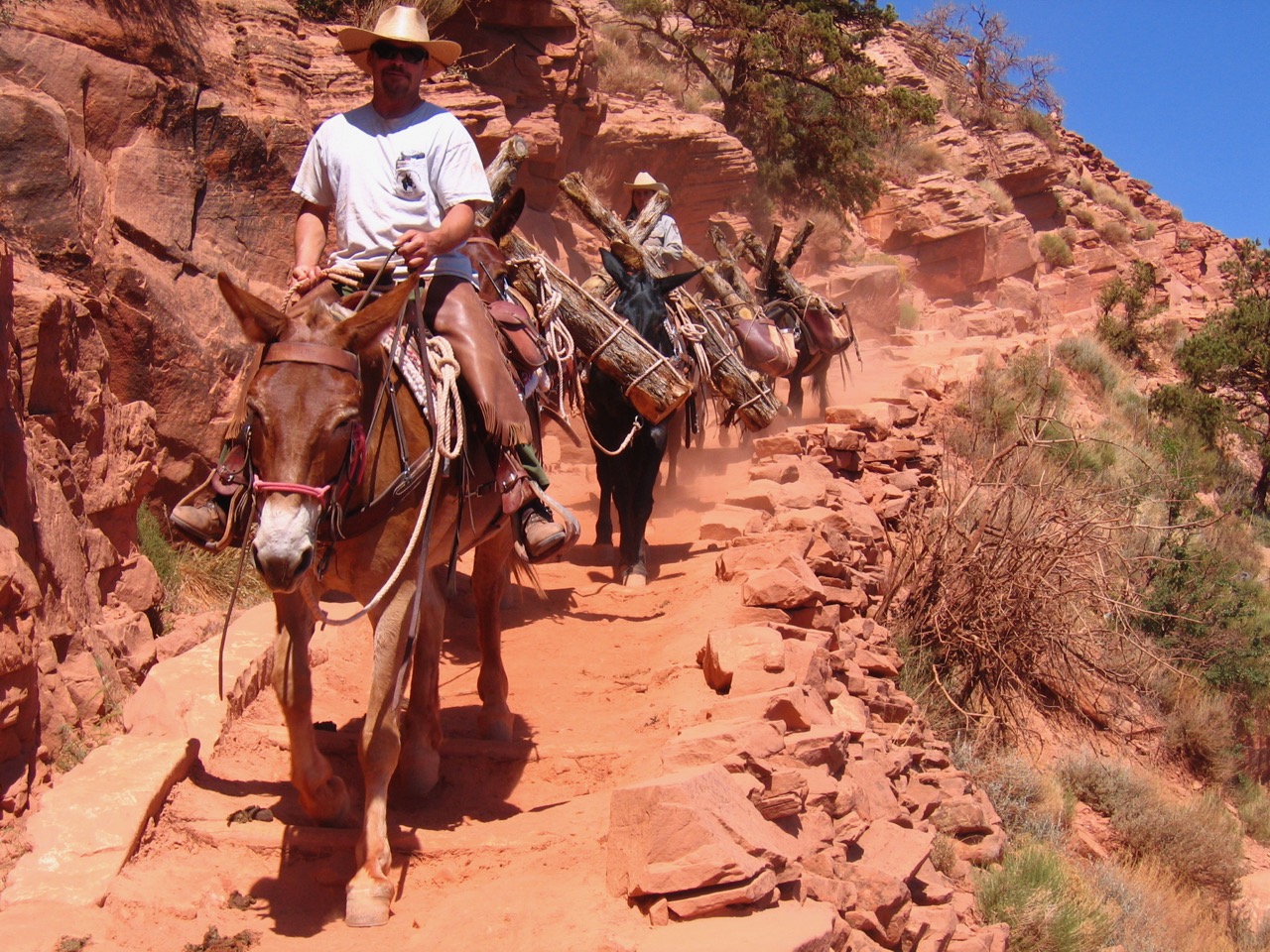
Running the River
River runners launch boats near Lees Ferry.
Photo: Paul Hirt
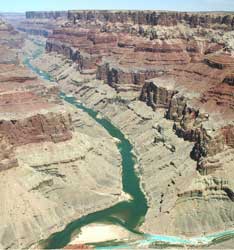
River History
The Little Colorado flows into the Colorado.
Photo: National Park Service