When night falls on the South Rim, visitors at Grand Canyon Village often find their gaze is still drawn northward by a cluster of blurry lights that seem to hang in space near the horizon. These lights come from the developments at Bright Angel Point on the North Rim, about 10 miles across the Canyon and a few miles east of the village.
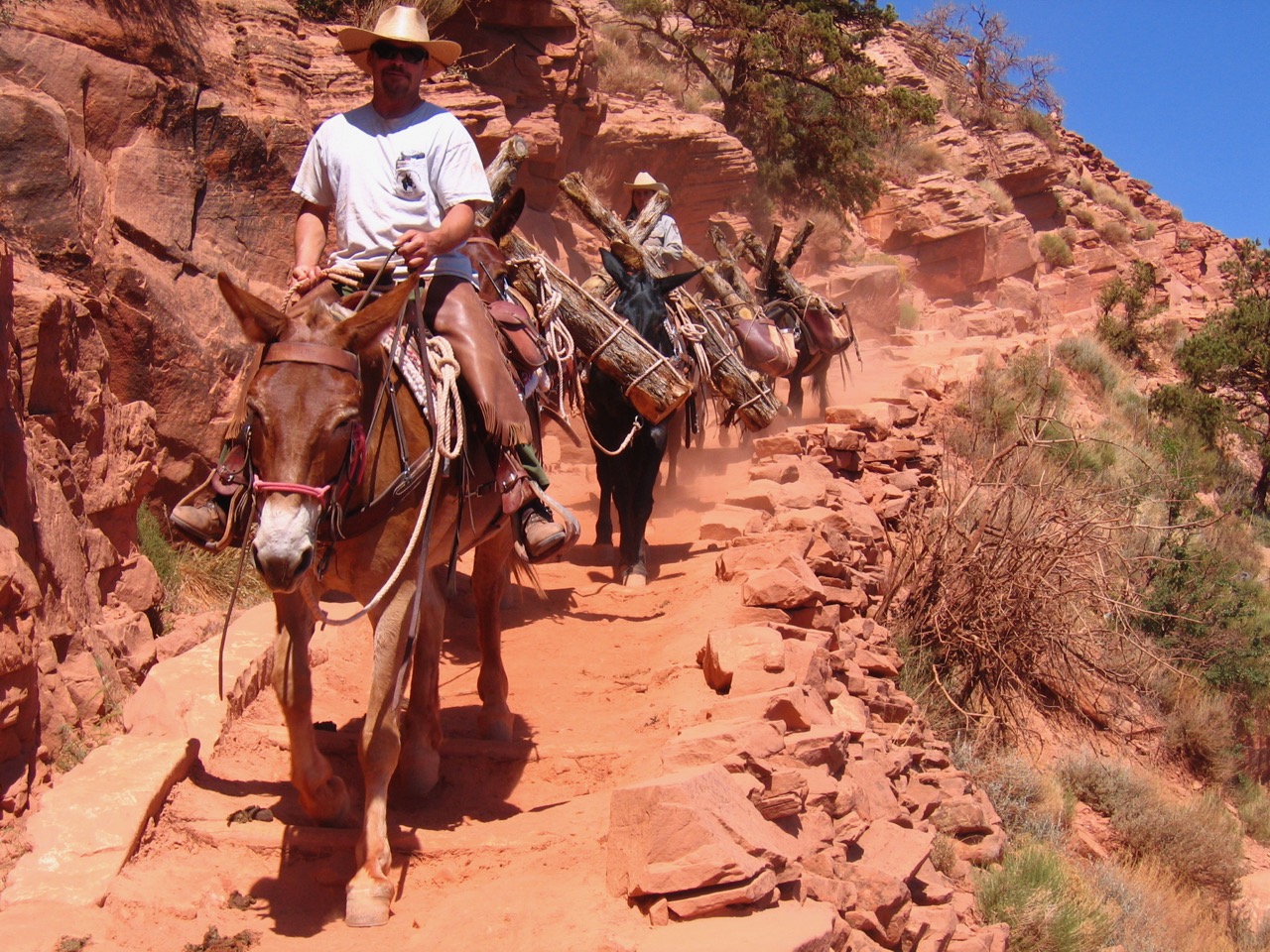
It is easy to get confused about your geographical location when you hear the name “Bright Angel” at the Grand Canyon. The term originally comes from Major John Wesley Powell, who while on his famous exploratory boat trip down the Colorado River in 1869 bestowed the name upon a sparkling creek that intersected with the river. Today the moniker has been applied to several natural and constructed features on both rims and within the Canyon. For example, Bright Angel Lodge is located on the South Rim, the Bright Angel Trail leads hikers and mule trains down into the Canyon along its southern wall, the Bright Angel Fault cuts across both sides of the Canyon, and Bright Angel Creek drains down the northern wall of the canyon into the Colorado River. However, Bright Angel Point itself is a feature of the North Rim.

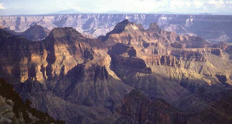
Early tourists peer into the Grand Canyon at Bright Angel Point.
Photo: “Bright Angel [Point], Arizona.” American Environmental Photographs, 1891-1936: Images from the University of Chicago Library, Library of Congress.
The point was remote and hard to reach for early Euro-American visitors, though this did not stop people from coming. Early entrepreneurs such as Edwin Dilworth “Uncle Dee” Woolley, David Rust, Aldus and Melissa Jensen, and Elizabeth Wiley McKee and her family ran primitive tourism enterprises at or near Bright Angel Point around the turn of the 20th Century.
Not until 1917 did a real road reach Bright Angel Point, and even then it was rough and unpleasant. Still, this point was the site of some of the most enduring development along the North Rim, since a fault in the rocks at this site allowed animals and humans to enter the Canyon along a sloping rock face instead of being blocked by the sheer walls that characterize most other areas. Most visitors to the North Rim who go into the Canyon, both in historic times and today, therefore start their descent below the rim here.
Bright Angel Point was a significant site for the Forest Service’s fight against forest fires. The Forest Service controlled the area until it became a National Park in 1919. They had established a fire tower there in the 1910s which they continued to man even after the site came under NPS control. They rebuilt the fire tower in 1929, and in 1938 a new stationary radio was installed to help firefighters better coordinate their efforts to locate fires and dispatch crews to fight them.
After Grand Canyon National Park was created, Bright Angel Point became the center of development schemes for the North Rim among the earliest Park Service administrators. They wanted it to mimic the development of the South Rim by constructing a chalet there, building a road along the rim from Bright Angel Point to other scenic viewpoints, and developing trails connecting Bright Angel Point with other points along the North Rim.
Bright Angel Point today remains the center of development on the North Rim. It offers clear views of the Grand Canyon, as well as a fault that allows for easier descent below the rim.
Photo: NPS
In 1925-26 the NPS constructed a ranger cabin, warehouse, barn, machine shed, duplex cottages and other outbuildings at the point, further cementing its position at the heart of development at the North Rim. They also added a developed campground for visitors in 1926, though the next year this was moved to its present position to make way for the Grand Canyon Lodge, the main lodging and dining facility on the North Rim. Today Bright Angel Point is the site of one of only three developed campgrounds at Grand Canyon National Park.
With the completion of this lodge, Bright Angel Point became a main stopping point on the Union Pacific Railroad’s “Circle Tour” which also took visitors to Zion and Bryce Canyon National Parks, Cedar Breaks and Pipe Springs National Monuments, and other scenic sites in the region. In 1928 the National Park Service began offering nature guide services at Bright Angel Point to explain the natural history of the Canyon and surrounding area to these visitors.
In 1930-31, the NPS reacted to growing tourist numbers at the North Rim by expanding its presence there, constructing employee quarters, a bunkhouse, mess hall, and other buildings. The North Entrance Road, completed at the same time, helped funnel visitors arriving at the North Rim by automobile to Bright Angel Point.
Throughout the decade of the 1930s, Civilian Conservation Corps crews worked throughout the Canyon on a variety of projects. At Bright Angel Point, they extended sewer, water, steam, and electrical lines to all public buildings and added sites, utility lines, parking spaces, and walkways to the campground.
During World War II, tours to Bright Angel Point briefly stopped as war rationing and travel restrictions went into effect. After the war, despite increases in tourism, the North Rim still never reached the number of visitors of the South Rim. Because of its isolation, short tourist season due to the cold and snowy winter months, and limited space for construction at Bright Angel Point, the Union Pacific Railroad was hesitant to invest significant capital in the area.
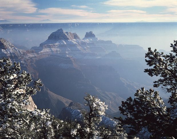
Because the North Rim is a thousand feet higher in elevation than the South Rim, it has colder temperatures and more snow, which made investors less willing to develop facilities there due to the shortened tourist season. Looking through a snowy frame at Bright Angel Point, Brahma and Zoroaster Temples are visible in the inner gorge, while above the south rim the San Francisco Peaks can be seen in the distance.
Photo: NAU.PH.2003.11.4.2.M4939A. Josef Muench Collection. Cline Library, Northern Arizona University.
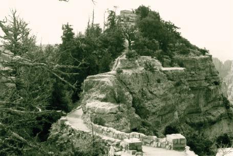
The trail to Bright Angel Point gives visitors a chance to learn about the importance of climate, elevation, and ancient life at the Grand Canyon.
Photo: NPS
In 1965 the annual visitation at Bright Angel Point reached approximately 130,000, but the reluctance of the concessionaire to invest money and NPS concerns about overdeveloping the area meant that plans to significantly expand facilities there never materialized. Instead, in 1972 the concessionaire, Utah Parks Company, turned their facilities at the North Rim over to the government. The NPS then contracted services out to TWA Services, Inc, which renovated the facilities at Bright Angel Point. The facilities continued to pass through different owners, and today are run by Forever Resorts.
Water and power for these facilities reaches Bright Angel Point by defying nature. Water from Roaring Springs (which provides all the water for both the North and South Rims) within the Canyon is pumped up nearly 4,000 vertical feet to a 50,000 gallon water tank at the rim. A hydroelectric plant along Bright Angel Creek uses turbines to generate energy that is sent to the pump house, where it is enhanced and transmitted to the rim to serve NPS and concessionaire power needs.
A short trail leads visitors from Grand Canyon Lodge to an viewing area at Bright Angel Point. Looking east, hikers can see Roaring Springs Canyon, a major tributary to Bright Angel Creek and the source of Roaring Springs. Deva, Brahma, and Zoroaster Temples are visible to the southeast. To the west is The Transept, a large tributary canyon of the Grand Canyon. The Colorado River, however, is hidden among the multicolored buttes and rock outcroppings that fill the Canyon’s depths. Along the trail are displays of marine fossils and crinoid fossils that illustrate the evolution of the landscape and life through the millennia as revealed in the exposed layers of the Canyon.
Written By Sarah Bohl Gerke
References:
- Anderson, Michael F. Living at the Edge: Explorers, Exploiters and Settlers of the Grand Canyon Region. Grand Canyon Association, 1998.
- Anderson, Michael. Polishing the Jewel: An Administrative History of Grand Canyon National Park. Grand Canyon Association, 2000.
- “Bright Angel Point.” National Park Service brochure, 2001.